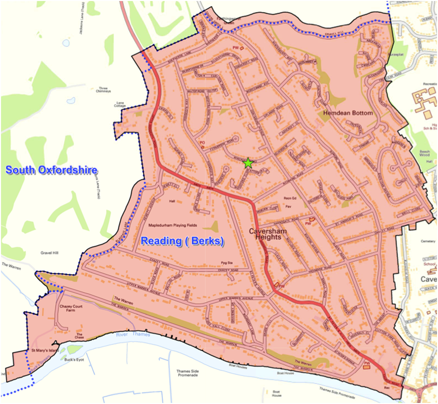
The map below shows the catchment area for The Heights Primary School. The aim of the catchment area is to cover the majority of homes, where families have struggled to gain a place in their catchment school and uses the natural boundaries of the River Thames and the county border with South Oxfordshire. To understand how this map was defined please refer to this page.